
Des Moines ZIP Coverage Groups
Official Iowa DPS tables provide the broadest reproducible inventory for ZIP labels tied to Des Moines and Polk County. They classify each row as Standard, P.O. Box, or Unique. The ordinary search seed is much smaller than the full list because many entries do not describe a street-delivery area. A Des Moines ZIP code directory must keep that type distinction visible rather than treating every number as a neighborhood.
| ZIP Code | Areas Covered | Postal Label | Notes |
|---|---|---|---|
| 50307-50317 | Common street-delivery search range | Des Moines, IA | Standard; verify each address |
| 50319-50321 | Common street-delivery search range | Des Moines, IA | Standard; boundary is address-specific |
| 50301-50306, 50318 | No street area inferred | Des Moines, IA | PO Box codes |
| 50328-50332, 50334-50335 | No residential area inferred | Des Moines, IA | Unique codes |
| 50333, 50336, 50340 | No street area inferred | Des Moines, IA | PO Box codes |
| 50339, 50359-50364, 50367, 50369 | No residential area inferred | Des Moines, IA | Unique codes |
| 50368, 50393-50394 | No street area inferred | Des Moines, IA | PO Box codes |
| 50380-50381, 50391-50392, 50396 | No residential area inferred | Des Moines, IA | Unique codes |
| 50395 | Address-level validation needed | Des Moines, IA | Standard in DPS table |
| 50936, 50940, 50947, 50950, 50980-50983 | No normal street area inferred | Des Moines, IA | Unique codes |
The named delivery station is not stated in the DPS source. Use USPS Lookup or the monthly AIS data for the current city name, delivery type, and address assignment. The city ZIP map supplies major-road and polygon context, but it does not certify that mail can be delivered.
Des Moines Street ZIP Seeds
The most practical street-delivery seeds are 50309, 50310, 50311, 50312, 50313, 50314, 50315, 50316, 50317, 50319, 50320, and 50321. They help narrow a map or record search. They do not mean every address in each code lies within Des Moines city limits, and they do not prove that a named person resides at an address.
Adjacent Polk County codes need separate labels. DPS assigns codes such as 50322 through 50325, 50327, and 50398 to Urbandale, Windsor Heights, Clive, Pleasant Hill, or another nearby city rather than Des Moines. Altoona, Carlisle, Cumming, Norwalk, West Des Moines, Windsor Heights, and Johnston can also appear in the wider mailing and boundary problem. Check both the postal answer and legal city layer.
Note: Treat every listed code as a search seed until USPS validates the full street line and unit.
Map Des Moines ZIP Areas
The official Des Moines ZIP map places ZIP polygons against major roads and local geography. It is useful for spotting which code likely serves a broad part of the city and where two zones meet. The map is a dated geographic snapshot, not a delivery database and not a legal city-limit certification.
Combine the ZIP layer with Des Moines Show Me My House or Polk GIS when the exact parcel matters. Those tools can add municipal boundary, parcel, ward, precinct, neighborhood, zoning, and Census layers. Each layer answers a different question. A clean map overlap is supporting context, while USPS remains the source for the current mail assignment.
Verify a Des Moines ZIP
The USPS ZIP Code Lookup has three modes. By Address asks for an optional company, required street address, unit, city, state, and optional ZIP. By City and State returns codes tied to those labels. Cities by ZIP returns recommended and recognized city names for one code. USPS warns that a result does not confirm a person or company at an address.
- Enter the complete Des Moines street line, including apartment or suite when known.
- Test address plus city and state, then address plus ZIP when the mailing label is uncertain.
- Record the recommended city name and code returned by USPS.
- Compare the result with the City ZIP map and legal boundary layer.
- Use the verified code as a filter, not as proof of a resident.
The monthly USPS AIS data is the better follow-up for current delivery type and city-name details when a special or edge code is involved. Exact facility names and past realignment dates were not established in the research, so the ZIP code directory does not invent them.
Des Moines ZIPs and ZCTAs
Census ZIP Code Tabulation Area guidance draws a firm line between postal and statistical geography. USPS codes route delivery points. Census ZCTAs are generalized areas built so data can be reported. A unique or PO Box code may have no matching ZCTA, and a ZCTA polygon should never be called an official postal boundary.
The Census guidance page captured for this Des Moines ZIP code directory explains that distinction.
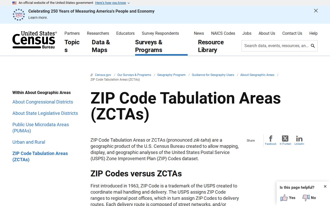
The visual helps prevent a statistical area from being used as proof of mail service or municipal residence.
For reproducible mapping, note the Census vintage. The 2025 ZCTA download index supplies the corresponding file set.
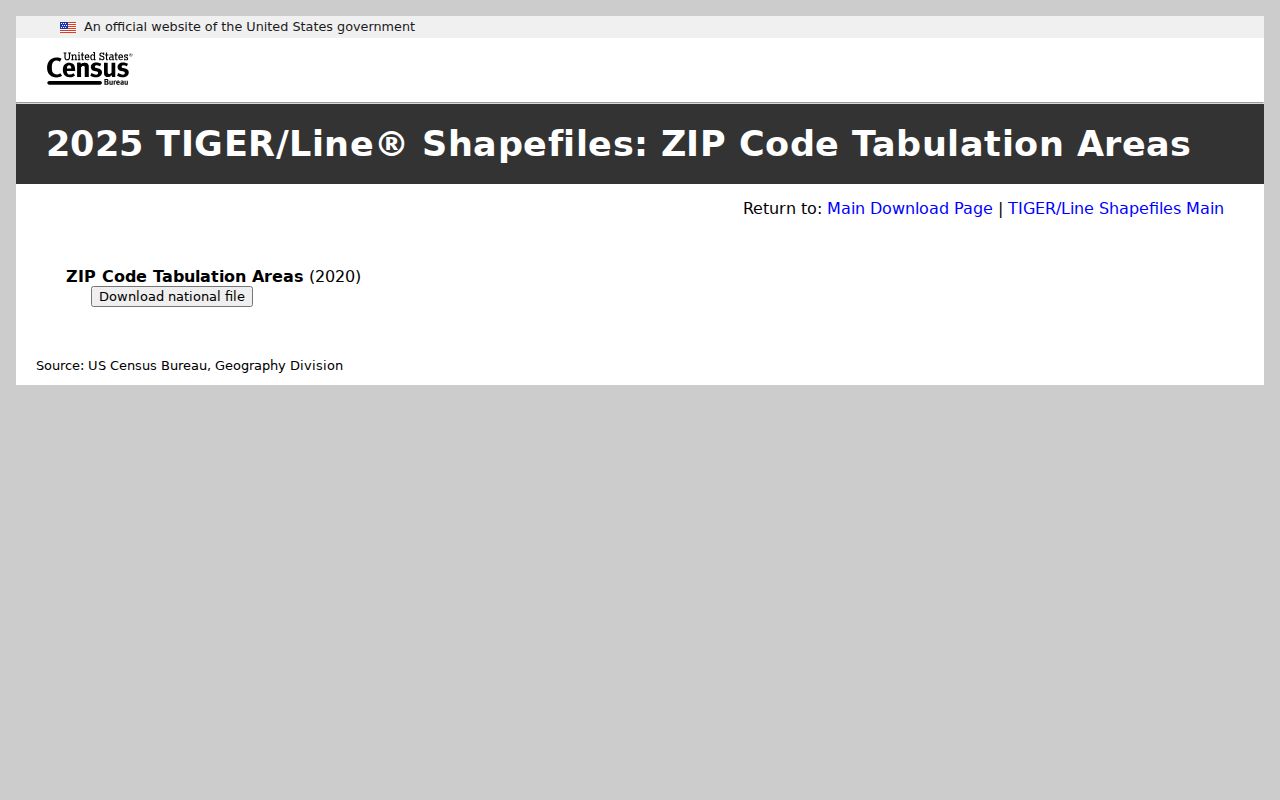
Those files support population analysis, while USPS and Des Moines mapping still control the postal and city questions.
Find Des Moines Residents by ZIP
Once USPS confirms the code, use a ZIP-capable official source that matches the task. A broad resident search by ZIP can produce names linked to a credential, filing, parcel, or notice, but each role has a narrow meaning. The Polk Assessor transition in 2026 also means its live field set and URL should be checked before relying on old instructions.
- Validate the address and ZIP with USPS.
- Check the parcel and city boundary in Polk GIS or Show Me My House.
- Use a ZIP field only in a relevant official property, lien, license, notary, or voter form.
- Match the name to a parcel, legal description, record role, or other stable key.
- When a street is known, continue with the Des Moines street directory workflow.
The Iowa voter-status form requires a ZIP together with first name, last name, house number, and full birth date. It is a one-registration confirmation, not a ZIP-wide roll. A formal voter-list request has separate legal-use terms, products, prices, and delivery rules.
Search Des Moines Postal Fields
The Iowa Mechanics' Notice and Lien Registry is a useful ZIP-capable property source. It can search a property address with county, address or location, city, postal code, and inactive status. It also supports parcel county and PID, legal-description text, owner or contractor names, filing dates, county, and posting type. A ZIP should be paired with parcel or legal-description evidence before drawing a property link.
| Field Group | Captured Options |
|---|---|
| Property address | County, address/location, city, postal code, inactive |
| Parcel | County, PID, inactive |
| Legal description | County, match type, description, inactive |
| Named parties | Owner, contractor, owner-builder, subcontractor, city |
| Posting | Date, county, type, inactive |
Posting types include All, Commencement, Preliminary, Mechanic's Lien, and Other. A posting is evidence of a filing tied to a project or parcel, not proof that any named owner or contractor lives there.
The official MNLR search is the ZIP-filter image assigned to this directory.
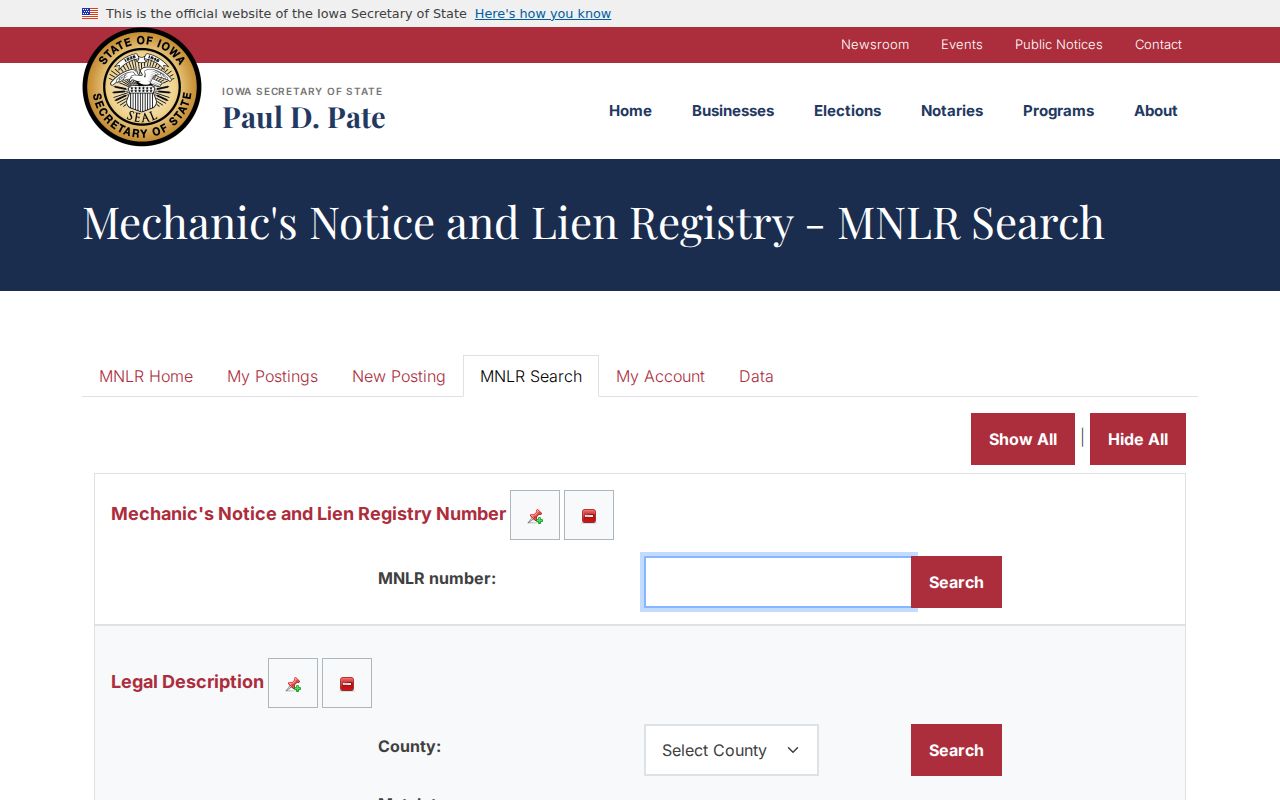
The many field groups show why a postal code works best when joined to a parcel, address, party role, and filing date.
Special Des Moines ZIP Types
The full Des Moines list contains many codes that should not be mapped as residential districts. DPS marks 50301 through 50306, 50318, 50333, 50336, 50340, 50368, 50393, and 50394 as P.O. Box. Its unique-code rows include groups in the 50328 through 50396 ranges and the 509xx series shown in the coverage table. USPS must identify the current organization, station, or delivery type.
- ZIP Code
- A USPS code used to route mail to delivery points or special destinations.
- ZIP+4
- A ZIP with four extra digits that narrows a delivery segment.
- PO Box ZIP
- A code assigned chiefly to post-office boxes rather than normal street delivery.
- Unique ZIP
- A code assigned to one large organization or special destination.
- Carrier route
- A set of delivery points served along one postal route.
- ZCTA
- A Census statistical area that approximates ZIP geography for data reporting.
Do not attach neighborhood names or resident counts to special codes without an authoritative source. The correct result may simply be that a code has no normal residential coverage.
Three Des Moines Number Systems
Des Moines uses numbers for very different civic tasks. Census population and household estimates describe a dated statistical universe. Assessor figures describe a parcel, building, or value. City street rules use 100 address numbers per block and roughly one number per ten feet. None of those numbers counts residents at a specific postal code or address.
This distinction is useful near a ZIP edge. A Census ZCTA total cannot be read as a USPS customer count. A parcel value does not say how many people are present. A house number locates a site within the grid, not a person. Keeping the source and unit beside every number prevents false precision in the Des Moines ZIP code directory.
ZIP Boundaries Miss Des Moines Limits
A postal ZIP, legal city boundary, neighborhood association, ward, precinct, parcel, and Census ZCTA can all disagree at the edge. A Des Moines mailing city can occur outside the municipality, and a place inside Des Moines may use a neighboring postal label. Annexation and duplicate street names add more risk. The city map and 2009 council communication show why address normalization needs quadrant, parcel, and ZIP context.
Use the legal city layer when municipal jurisdiction matters, the parcel layer when ownership matters, USPS when delivery matters, and the Census ZCTA only for statistics. No one map replaces the others.
Boundary rule. A ZIP result narrows a search, but it never proves city residence, neighborhood membership, property ownership, or who lives at an address.