
Sources for Des Moines Neighbors
Official sources describe a block in layers. Polk GIS shows parcel shapes and street-facing lots. Assessor records connect a parcel to an owner field and property facts. Des Moines GIS adds civic boundaries, while the neighborhood finder supplies association information. Voter tools have narrow purposes and do not publish a ready-made block roster. Historical directories can show who appeared at nearby addresses in one publication year.
| Official source | Block-level value | How to reach it |
|---|---|---|
| Polk GIS Explore | Adjacent parcel polygons, address and parcel starting points | Free county map viewer |
| Polk Assessor | Owner field and parcel characteristics, not confirmed occupants | County entry point; interface in transition |
| Show Me My House | Neighborhood, ward, precinct, zoning, and Census context | Free city address tool |
| Neighborhood finder | Approximate association boundary and civic contact | City map and association list |
| Historic directories | Dated occupants or firms along nearby addresses | DMPL digital, print, and microfilm |
None of these sources proves a complete household. A parcel owner may receive tax mail elsewhere. A directory name is tied to its publication date. Association officers are organizational contacts, not a list of residents. Keep the source, date, and role beside every name, and leave unsupported gaps open.
Start with the source closest to the question. Use parcel geometry to learn which lots touch. Use the assessor for land and building facts. Use a neighborhood map for civic participation, and use a dated directory only when the goal is historical. This order prevents a common error: treating a convenient name from one system as if every other system confirms that person. It also leaves a clear path for correction when a portal changes or a boundary shifts.
Map Des Moines Neighbor Parcels
Open the Polk GIS Explore app with the target address. County materials document address and parcel search, map controls, a ruler, print, and draw tools. Exact live layers can change, so use only controls visible during the search. Adjacency is a spatial lead. It does not establish who occupies a building.
- Search one complete street address and confirm the correct parcel shape.
- Record the parcel IDs immediately beside, behind, and across from the starting lot.
- Check each parcel separately in the assessor system and preserve the search date.
- Label an owner as an owner only. Do not infer occupants from owner or mailing fields.
- Use city layers to add neighborhood, ward, precinct, and zoning context.
The result is a small ring of verified parcels around one place. That scope keeps the block method distinct from the Des Moines street directory, which follows a whole named street and its broader record chain.
Save a screenshot or printed map with the query date, but keep the parcel numbers in text as well. A map image without its search details is hard to reproduce. If the target sits near a county line, annexed area, alley, condominium, or shared parcel, confirm the governing county and city before comparing names. Show Me My House draws from both Polk Assessor and Warren County GIS sources, a useful warning that a Des Moines mailing label does not settle the custodian.
Des Moines Neighbor Civic Layers
The City's Show Me My House tool accepts one Des Moines address and can return parcel, neighborhood, ward, precinct, Census, zoning, historic-district, facility, and service context. The City labels the information approximate and incomplete. That warning matters at an association edge or city boundary. A civic polygon routes a search, but it is not a legal parcel line or evidence of residence.
The official neighborhood GIS service exposes association geometry and organizational contact fields. Use those fields to reach a group, not to profile its officers. The map view below shows the kind of neighborhood layer that frames nearby residents around an address.
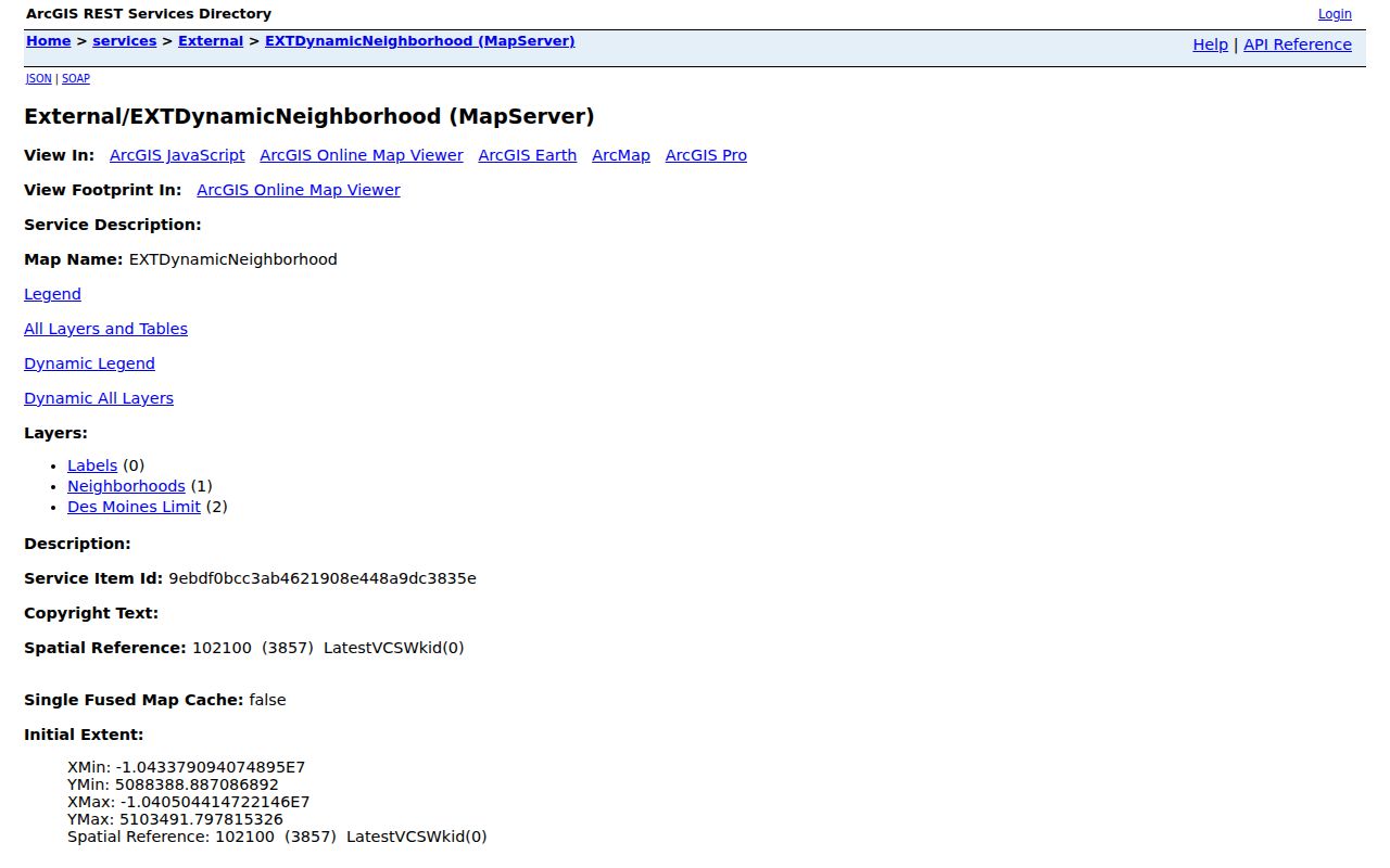
The polygon supplies civic context for a block while the parcel viewer remains the source for lot-by-lot geometry.
Des Moines geography has several overlapping units. A parcel, precinct, ward, neighborhood, Census block, ZIP code, and legal city boundary can all put the same address into different groups. That is expected because each unit serves a different purpose. Keep the label and source together. Calling a precinct a neighborhood or a ZIP a city boundary can send a neighbor search to the wrong association or public office.
Des Moines Neighbor Association Contacts
The Des Moines neighborhood finder lists recognized associations and opens boundary, contact, and meeting details. The 2024 City Council recertification covered 48 recognized neighborhoods and shared areas. Recognition is an organizational status. It does not turn an association map into a resident roll, and boundaries may overlap or remain approximate.
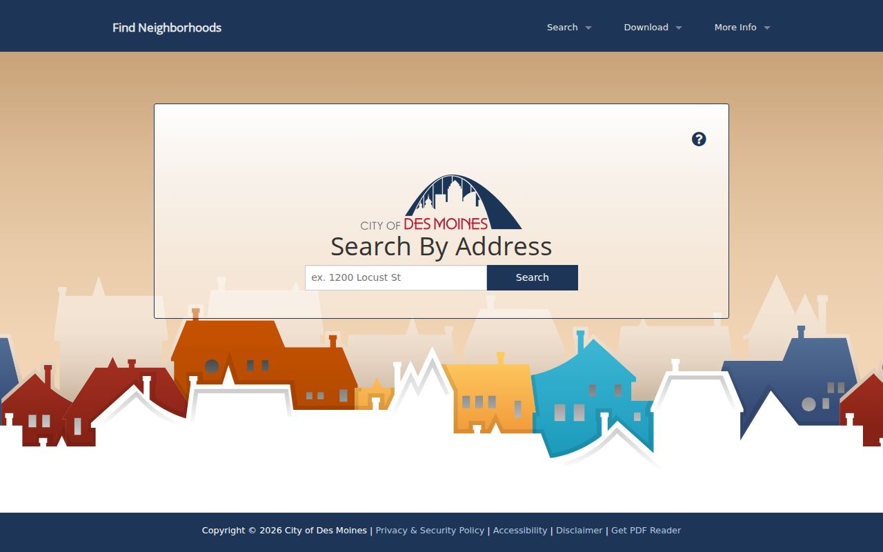
The finder is the best current route to the organization serving a block, though officer names and meeting details should be checked before use.
Neighborhood Outreach
1200 Locust Street
515-283-4775
neighborhoods@dmgov.org
City GIS
Use for map and layer questions.
GIS@dmgov.org
Polk Assessor
111 Court Avenue #195
515-286-3014
polkweb@assess.co.polk.ia.us
Beaverdale, Drake, River Bend, Sherman Hill, Historic East Village, and Highland Park/Oak Park appear in official map materials. Shared or overlapping boundary notes are common. Use the finder result for the address instead of choosing an association from a name alone.
The association contact layer includes officer roles, addresses, phones, email, websites, and plans where supplied. Publish or use only the organizational contact needed for the civic purpose. Officers change, and a listed contact address should not be recast as a personal resident record. The Neighborhood Outreach Coordinator can resolve an uncertain association or outdated meeting detail. For a formal city record, identify the department, address, record type, and date range in a Chapter 22 request.
Des Moines Neighbor History
Modern parcel and association maps answer current civic questions. The Polk County Historical Society and Museum adds local exhibits and staff-assisted archival research. Its materials are still being digitized, and outside researchers cannot directly handle archival items. That limit makes a precise request important.
Historical material can explain a block's former street pattern or community identity, but it stays separate from claims about current households.
DMPL directories and Sanborn maps can compare older block addresses. Directories may list occupants or firms by year. Sanborn sheets show structures, uses, materials, and house numbers, not ordinary residents. Together they tell how a block changed without turning old evidence into a current-person claim.
A historical comparison needs more than matching house numbers. Des Moines uses quadrant references around the river and South Union, and annexations produced duplicate street-name problems. City numbering guidance places 100 numbers in each block and changes odd-even orientation by area. Check the directional prefix, lot, subdivision, and map date before deciding that two entries describe the same building. When an old street line does not resolve, CouncilDocs may contain the naming, vacation, annexation, or improvement action that explains it.
Des Moines Neighbors and Voters
The Iowa voter-status lookup asks for first name, last name, ZIP code, house number, and birth date components. It returns status, precinct, and polling-place information for a specific record. It does not offer a public list of everyone on a Des Moines block.
Separate voter-list products require a request, an intended legal use, and selection of a jurisdiction and product. Iowa Code Chapter 48A limits use, while pending, inactive, and confidential records require care. A voter result cannot confirm present occupancy. A missing address may reflect a move, stale status, or a confidentiality measure.
Note: Do not publish birth dates or combine voter results with addresses into public profiles of people on a Des Moines block.
Official Des Moines Block Records
Official records and commercial neighbor tools are built for different purposes. The official path may take several searches, but it keeps the source, date, and legal meaning visible. A commercial profile can blend old addresses and unrelated names without showing why a match was made.
| Choice | Strength | Limit |
|---|---|---|
| Official parcel and GIS tools | Custodian, map date, parcel context | Owners and geometry do not prove occupants |
| City association sources | Recognized boundary and civic contact | No complete household roster |
| Commercial profile category | May combine many inputs quickly | Unclear dates, matching rules, and correction paths |
Use the official route for neighborhood curiosity, reconnecting, property context, and civic participation. If a needed city record is not online, Iowa Code Chapter 22 supports a request for a specific existing record by department, address, type, and date range. It does not require an agency to create a roster of everyone nearby.
Privacy for Des Moines Neighbors
Public parcel maps omit much of everyday life on a block. They do not provide a complete list of occupants, family members, phone numbers, deliveries, or utility customers. An association contact is published for civic work, not unrestricted personal use. Treat every record according to its purpose and verify important facts with the named custodian.
Iowa Safe at Home provides a substitute address for qualifying participants. It does not retroactively erase all older records and does not shield real-estate records, but it can explain why an ordinary address is absent or replaced. Other Iowa exemptions can also limit disclosure. Never interpret a blank field as proof that a person left the area.
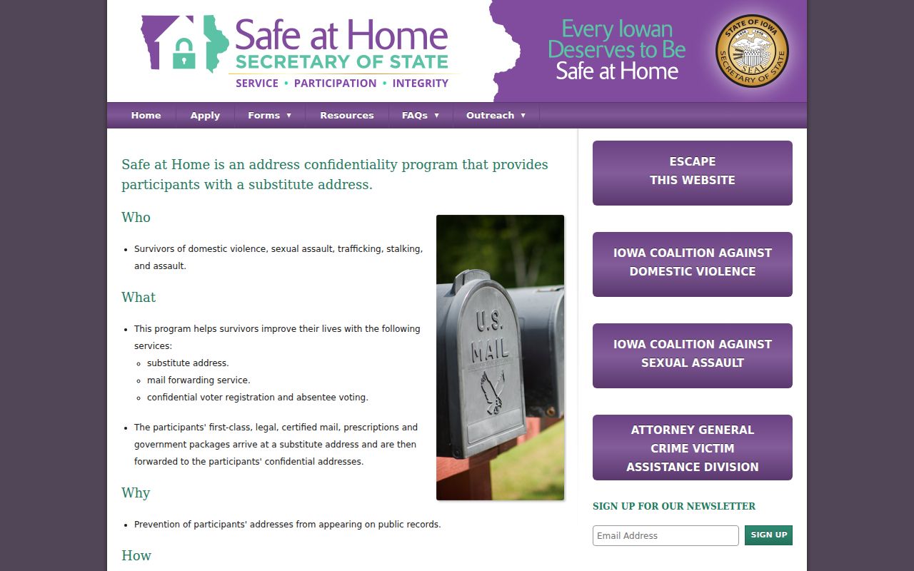
The state program shows how safety rules can shape a public search, especially when comparing current and older sources.
Lawful use. Neighbor research supports civic contact, reconnecting, and personal safety. Never use it to watch, threaten, intimidate, or harass anyone.
Keep the scope small and the record trail clear. One address can lead to nearby parcels, a recognized association, and historical block context without creating a dossier on the people nearby. That approach respects both public records and the safety of adjacent households.