
Walk a Des Moines Street
A Des Moines street directory search works best as a chain. Begin with a complete street address, including its directional prefix and suffix. The city and county tools may recognize the same place in different forms. The assessor ties the physical address to a parcel and owner, while the recorder ties names and legal descriptions to filed instruments. Neither record proves who sleeps at the property. Current occupancy may require direct, lawful confirmation, and historical occupancy is better tested in dated directories, newspapers, census schedules, or other archived sources.
Use the steps in order and record the date of each result. A parcel ID or legal lot is a stronger bridge between systems than a similar-looking owner name. When a portal returns nothing, change the address format and check the official fallback instead of treating silence as proof.
- Normalize the address with the city map tools or USPS. Keep the house number, directional prefix, street name, suffix, unit, and ZIP separate.
- Search the Polk County Assessor. Copy the parcel number, legal plat, owner, sale date, and dated property facts.
- Open the Polk GIS Explore app and inspect adjacent parcels along the block.
- Use the owner name and legal description in the Polk Recorder index. Read the role, document kind, dates, remarks, and book/page before linking a deed to the parcel.
- For an older household, consult the Des Moines Public Library street guides and directories by year. Confirm a surname in both the alphabetical and street-order sections.
This street-by-street route keeps ownership, civic geography, and occupancy evidence in their proper lanes. It also leaves a clear trail another researcher can repeat.
Search Des Moines Street Parcels
The older official Polk Assessor interface documents several ways to search by address. Full or partial street text is accepted, along with common unit labels. Range marks and wildcard characters can broaden a query when spelling or numbering is uncertain. Polk County announced that the long-running in-house site was moving to Vanguard Appraisals in 2026, so labels and the live endpoint should be checked before relying on a saved screen.
| Search choice | Field | Useful format | What it locates |
|---|---|---|---|
| Property Address | Street Address | Full, partial, unit, range, or wildcard | Parcels on the entered street line |
| Ownership | Last Name, First Name | Owner name | Parcels indexed to that owner |
| Legal | Plat | Subdivision or plat text | Lots sharing a legal plat |
| District/Parcel | Parcel or Geoparcel | Formatted or compact parcel number | One mapped tax parcel |
| Condition | Operator and Value | Equals, comparisons, or between | Values matching a chosen condition |
A parcel card can show the property address, owner, land and improvement values, occupancy type, area, year built, grade, condition, sale date, and price. Those are assessment fields, not a roster of residents. An owner's mailing address may also differ from the property's situs address.
Note: The Assessor transition was active in 2026, so save the access date and verify field labels before citing a current parcel result.
Des Moines Street Address Terms
Four terms prevent common address-search errors. Define them before joining a city address to county land records or an old printed directory.
- Parcel
- A mapped unit of land used for assessment and recording. One street address can involve more than one parcel, and one parcel can contain more than one structure.
- Situs address
- The physical location assigned to the property. It is not the same as an owner's tax-mailing address.
- Plat
- A recorded map that divides land into lots, blocks, streets, and easements. A corrected plat can explain a changed legal description.
- Criss-cross directory
- A directory arranged by street and house number rather than only by surname, useful for a dated view of a block.
The legal description is often the stable link when a street name changes. Keep the subdivision, lot, block, and recorder reference with the address.
Layer Des Moines Street Records
The City of Des Moines Show Me My House tool accepts a house number, street prefix, name, and suffix. It can connect an address to parcel context, the city boundary, zoning, historic or conditional districts, neighborhood, ward, precinct, Census areas, facilities, aerial imagery, and city service layers. The city labels the output approximate and incomplete. Use it to route research, not as a certified boundary or title source.
The county viewer adds parcel geography, map layers, measurement, print, and drawing tools. Browse neighboring shapes to see whether one postal street line crosses a plat, taxing area, or city edge. If a layer or address will not load, contact the city GIS desk or the county portal. Do not guess at an absent field.
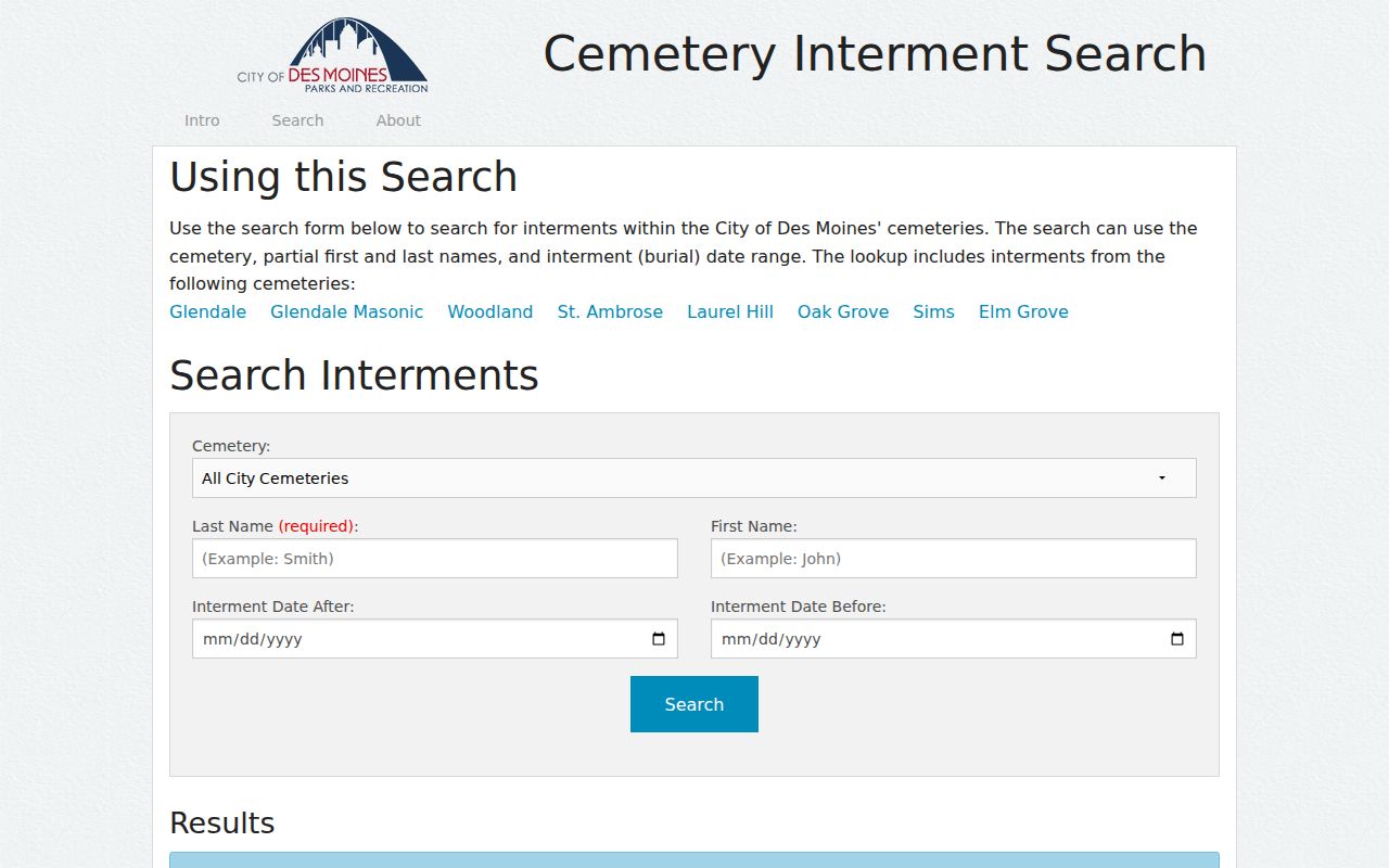
The Des Moines cemetery search is a separate address-linked historical source for Glendale, Woodland, St. Ambrose, Laurel Hill, Oak Grove, Sims, Elm Grove, and Glendale Masonic cemeteries.
Des Moines Street Record Coverage
No single roll answers who lives along every Des Moines street. The strongest by-address search separates current parcel facts from recorded instruments, civic layers, electoral status, permit files, and dated historical publications.
| Address source | Official keeper | Street evidence | Access route |
|---|---|---|---|
| Assessment roll | Polk County Assessor | Parcel, situs, owner, building and dated value facts | Online search; assessor contact during migration |
| Parcel and civic GIS | Polk County and City of Des Moines | Parcel shape, neighborhood, ward, precinct, zoning and service context | Free web viewers; GIS contact |
| Recorded instruments | Polk County Recorder | Indexed parties, deed kind, legal description, dates, book/page and images | 1992-present online; older microfilm and archives |
| Voter data | Iowa Secretary of State and Polk Auditor | Personal status lookup or a lawfully requested voter-list product | Personal portal; official list request under Iowa rules |
| Permits and code files | City permit or records custodian | Existing, dated files tied to an address or parcel | EnerGov where available; specific Chapter 22 request |
| Historical directories | Des Moines Public Library | Dated household or business entry and street guide | Digitized, print, microfilm, and staff help |
The parcel number connects the assessor and GIS. A legal description and book/page connect the parcel to recorder instruments. A printed street guide adds a dated occupant clue, while an official voter lookup is designed to return registration and polling information for the person who supplies the required personal fields. It is not an open block roster.
Decode Des Moines Street Numbers
Des Moines address rules use the Des Moines River and South Union Street as key reference lines. The city guidelines assign 100 numbers per block and about one number per ten feet. Odd and even sides depend on street direction. Directional quadrant letters matter, especially where a similar street name appears in more than one part of the city.
Annexation can disrupt a neat search. A 2009 City Council communication discusses duplicate street names and addresses tied to annexed areas in Polk and Warren counties. Older plats, street-naming ordinances, the official street mapbook, and CouncilDocs can explain why an address seems to move or change form.
The Des Moines CouncilDocs archive reaches back to 1996 and holds agendas, ordinances, resolutions, and communications about street names, vacations, public works, rezonings, and annexations.
Note: Search both the current street line and an older name when a directory, plat, or council record uses a different quadrant or suffix.
Follow Des Moines Street Deeds
The Polk County Recorder online real-estate index generally covers 1992 to the present. It searches indexed names rather than a street line, so carry the owner and legal description from the assessor into the recorder. Search by grantor, the party transferring an interest, or grantee, the party receiving it. Narrow by date and document kind. A warranty deed can mark a transfer, but a mortgage, easement, release, correction, plat, or lien answers a different question.
Results expose recording and instrument dates, kind, indexed and other names, remarks, file number, book/page, amount, and image controls. One reviewed sample included a corrected-plat remark for a Prospect Park lot. That detail shows why legal remarks matter. It did not establish who occupied the lot.
For records before 1992, contact Imaging/Microfilm at 515-286-3175 or ask at the Recorder counter, 111 Court Avenue, Suite 250. Polk Archives and the State Historical Society hold older deed, mortgage, town-lot, easement, and related indexes. Statewide Iowa Land Records is another official channel for archived documents across the counties.
Read Des Moines Streets Backward
The Des Moines Public Library's historic city directories include digitized volumes from 1866 through 1922, microfilm from 1866 through 1935, and print holdings from 1910 to the present. Later street-order or criss-cross access can identify a dated household at a house number. Earlier books should be searched by surname and then checked against the street or avenue guide.
A strong historical street directory entry records the directory year, publisher, page, exact address, and abbreviation key. Pair it with a Sanborn map for the structure's footprint or use, a deed or plat for legal land, and a newspaper or census item for the household. The modern address angle belongs here; the full shelf and publisher runs are detailed in the Des Moines city directory collections.
Des Moines history makes the sequence useful. A house can be followed from a 1901 Sanborn footprint to a 1908 street-index directory, then to a 1920s plat and today's GIS. Each source records a different date and fact. Together they form a reproducible place history without forcing one record to prove more than it does.
Request Des Moines Street Files
The City of Des Moines routes permit and development work through EnerGov. The research capture exposed account and address navigation but not a stable, complete public permit-search form. If the needed permit, code, planning, or project record is not visible, use Iowa Code Chapter 22 to ask the responsible city department for an existing file.
State the full address, parcel number if known, record type, department, and date range. Ask for the desired format and a fee estimate. The City Permit and Development Center lists 1200 Locust Street, 515-283-4200, and permits@dmgov.org. A narrow request is more likely to reach the right custodian than a demand for every file connected to a person.
Record request tip. Include the old and current street forms when annexation, renaming, or a changed directional prefix may affect the index.
Des Moines Street Number Systems
Three kinds of numbers often appear in an address search. Census counts describe a population or household universe for a set year. Assessor numbers describe a parcel, building, or dated valuation. City numbering rules position a site on the street grid. None is a count of people at one address.
Keeping those measures separate matters in a large city. Census QuickFacts reports 88.18 square miles of Des Moines land and a 2020 density of 2,428.4 people per square mile. The city street rules use 100 numbers per block. A parcel card may show area, year built, and value. These figures can describe context, but they cannot identify a household.
Limits of Des Moines Street Records
A parcel owner is not necessarily a resident. The owner may use a separate mailing address, and one parcel can hold several units. A deed records an interest in land, not a complete household. A voter search confirms registration and polling details only after required personal facts are supplied. City GIS labels civic geography, while USPS validates delivery data. None provides a complete list of all adults or children at a home.
Privacy programs can also change what appears. Iowa Safe at Home supplies a substitute address to qualifying participants, but it does not erase older records or shield real-estate records. A missing or substituted address is not proof that someone moved. Utility customer data, confidential court matters, protected voter details, and other exempt records stay outside a public street directory.
Lawful use. Use Des Moines address records for lawful personal research, property questions, genealogy, and civic understanding. Never use them to stalk, harass, intimidate, or harm anyone.
The safest conclusion is source-specific: the assessor named an owner on a certain date, the recorder indexed an instrument, or a directory printed a household at an address in a given year. Verify important facts with the office that keeps the original record.